Professional Drone Services

Rooftop and Structural Inspections
Safe, cost-effective roof inspections without scaffolding or working at height. Ideal for commercial buildings, residential blocks, warehouses, and facilities managers requiring fast, accurate condition assessments.
Surveying & Asset Monitoring
Detailed aerial overviews and site monitoring for land analysis, infrastructure planning, and operational management. Clear visuals and actionable insight delivered quickly and professionally.
Aerial Photography & Cinematic Imagery
High-resolution aerial imagery and video for estate agents, developers, golf clubs, and commercial properties. Showcase scale, boundaries, surroundings, and location with visuals that immediately elevate your marketing.
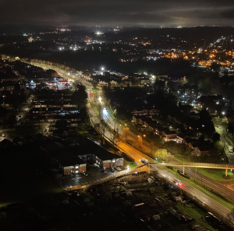
Precision From Above
Fast, safe, and full insured Drone Operations tailored to property professionals, site managers, and commercial clients. Where technical expertise combined with local knowledge creates reliable results, every time. Serving Stone, Stafford, Stoke-on-Trent and surrounding Staffordshire areas.


High-resolution aerial imagery for estate agents, developers, golf clubs, and commercial properties — helping you showcase assets from the best possible perspective.
Aerial Photography
Rooftop & Structural Inspections
Commercial Drone Surveying
Safe, cost-effective roof inspections without scaffolding or access equipment. Ideal for commercial properties, residential blocks, and facilities managers needing accurate condition assessments.
Accurate aerial overviews and site monitoring for land, infrastructure, and operational planning.
Who We Work With
We support estate agents, golf clubs, commercial property owners, developers, construction firms, and facilities managers across Stone and Staffordshire.
Whether you need marketing imagery, building inspections, or site monitoring, Stone Drone Ops provides professional aerial solutions tailored to your sector.


Why Choose Stone Drone Ops?
• Based in Stone, Staffordshire
• UK Coverage
• £10 million Public Liability Insurance
• CAA compliant
• Professional-grade drone technology
• Fast turnaround times
• Clear reporting and high-resolution deliverables
Serving Stone, Staffordshire
Providing reliable drone services across Stone, Stafford, Stoke-on-Trent, and surrounding areas.
Book a Professional Drone Service in Stone Today.
Whether you need aerial photography, a rooftop inspection, or site surveying, Stone Drone Ops delivers safe, accurate, and professional results across Staffordshire.
Get in Touch
Contact
hello@stonedroneops.com
© 2026. All rights reserved Stone Drone Ops